PLAXIS Products
PLAXIS Geotechnical Finite Element and Limit Equilibrium Analysis Software
Conquer any geotechnical project with confidence using PLAXIS. The tools included in the PLAXIS suite allow you to design and perform a wide range of advanced finite element analyses such as soil and rock deformation, stability analysis, soil structure interaction and groundwater and heat flow. PLAXIS provides the tools needed to produce and analyse models for the simulation of nonlinear and time-dependent behavior of soils. The software also allows you to interact with your models by applying hydrostatic and nonhydrostatic pore pressures as well as modelling structures and the interaction between the structures and the soil. Limit equilibrium slope stability and 3D modelling tools are now part of Plaxis, with the inclusion of the SoilVision range.
PLAXIS provides you with the tools to perform detailed analysis on a huge range of geotechnical projects including: excavations, foundations, embankments, tunnels, mines, dredging, and many more. The wide range of PLAXIS tools are arranged into a series of 2D and 3D applications and suites to suit various project needs. Read more about the range of options available below.
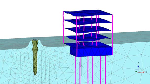
Simple and efficient deformation and stability analysis tool for soil and rock formations available in 2D or 3D packages. Finite element analysis is performed in a package which natively integrates into the Bentley ecosystem, offering a high degree of interoperability.
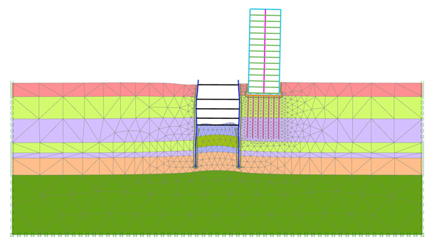
Enhanced analysis package which includes the functionality of PLAXIS 2D and 3D as well as advanced geotechnical tools. Allows the user to analyse steady-state groundwater flow, consolidation, creep, pseudostatic response, and degradation of soil due to cyclic loading.
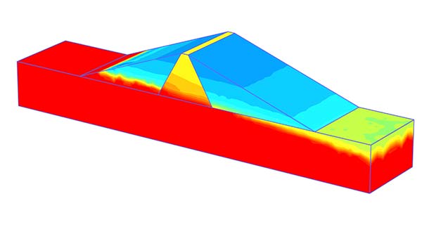
The most complete package, PLAXIS Ultimate includes the features of PLAXIS 2D and 3D Advanced, with added functionality to deal with the most challenging geotechnical projects. Includes analysis and modelling of complex soil and hydrological conditions as well as interactions with structures.
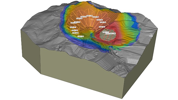
A complete tool for 2D or 3D limit equilibrium slope stability analysis. Includes unsaturated groundwater flow estimation and stress analysis. Efficiently handle spatial representation of materials and utilise the SOILVISION Soils Database for material management.
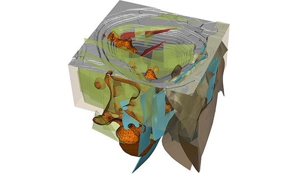
An efficient 3D geotechnical modelling tool which allows for significant reductions in model creation time. Merges a wide range of data to create a complete ground model including: engineered earth structures, construction, topology, boreholes, geotechnical and water data.
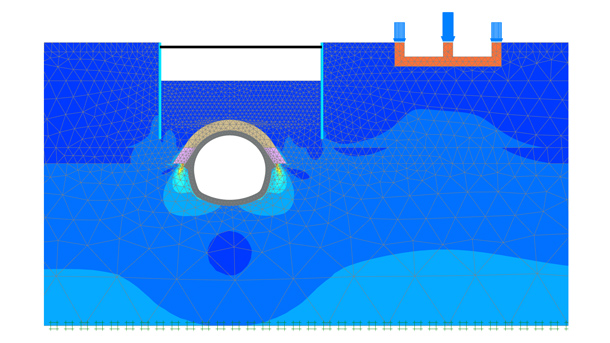
A complete suite of the PLAXIS 2D geotechnical analysis products: PLAXIS 2D Ultimate and PLAXIS 2D LE.
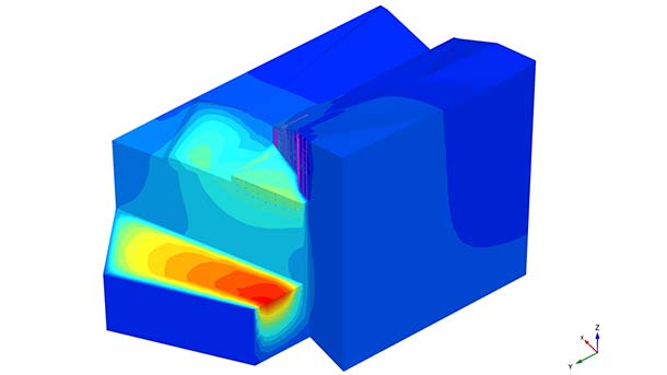
A complete suite of the PLAXIS 3D geotechnical analysis products: PLAXIS 3D Ultimate, PLAXIS 3D LE, and PLAXIS Designer.
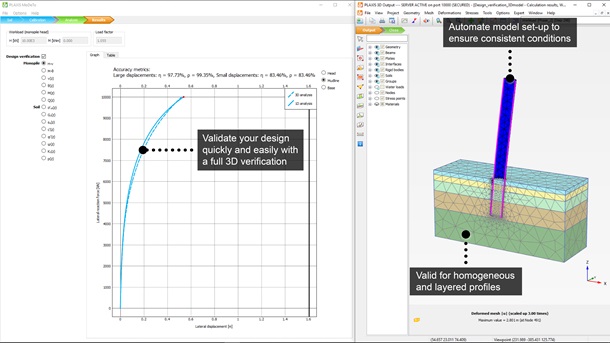
Advanced application for designing monopile foundations. Significantly optimise the designs for your monopile foundation project and lower material, fabrication, transportation, and installation costs. Utilises the Pile Soil Analysis (PISA) methodology.
