Ras Laffan Port Expansion Project
Projects
Our international experience working to different standards, expertise in data collection, database design, data management and software development means Datgel can deliver a timely and cost effective solution for your project.
For further information on Datgel's projects and services please contact Phil Wade, Managing Director, on +61 2 8202 8601 / +65 6631 9781.
Ras Laffan Port Expansion Project Geotechnical Database
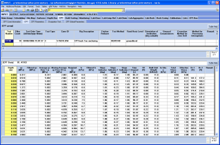 | 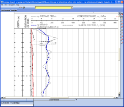 |
The system incorporates more than 100 database tables, 50 gINT reports and has the following features:
- Lab testing for soil, aggregates, and quarry products. Twenty tests are supported, and all are reported by gINT with most of the calculations performed within the gINT database.
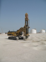 In situ testing and sampling of:
- CPT - importing GEF data, and parameter calculations
- Trial Pit / Test Pit
- Borehole
- In Situ Density
- DCP
- Monitoring - Settlement Markers
- General Features
- Lab and field test scheduling
- Lab sample storage tracking
- Automatic specification checks
- Automatic calculation of the natural ground elevation prior to construction
- User rights and security
- Coordinate calculation based on chainage, offset and alignment data
- Site maps
- Fence diagrams
- Summary graphs, tables, and histograms
- Queries and link to excel
- Export of MapInfo MIF/MID to summarise the CPT test result status for construction areas
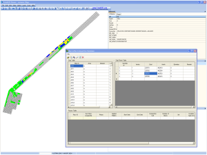
Compaction Database - Datgel developed a .net windows application to manage the compaction machine daily reports. This allowed the users to see in a tabular interface how many passes the compaction machines had made on each 10 x 30 m area, and export this information to an MIF/MID file for visualisation with other project data in MapInfo.
Project Summary
- Main Contractor: JV Jan de Nul/Boskalis
- Development of Geotechnical Data Management System utilising gINT Professional
- Custom Development of Reports Lab testing and in situ testing lab calculations using gINT Rules and VB.net
- Monitoring, scheduling, and tracking
- System to manage and visualise compaction progress and in situ QC testing
- User Training
- On-going support and maintenance

